 Catálogo de Metadatos
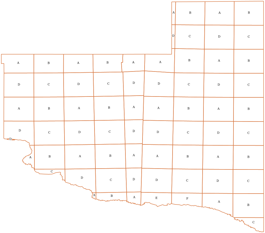
Fracciones catastrales
Superficie que identifica la segunda división del territorio en zona rural, dividiendo a su vez las secciones y compuesta por superficies menores Lotes.
Simple
- Status
- On going
Point of contact
- Spatial representation type
- Vector
- Denominator
- 10000
N
S
E
W
))
- Maintenance and update frequency
- As needed
- ( Theme )
-
- features, fraccion
- ( Theme )
-
- Access constraints
- Other restrictions
- Other constraints
- no conditions apply
- Use limitation
- no conditions apply
- Access constraints
- Copyright
- Use constraints
- Language
- Spanish; Castilian
- Character encoding
- UTF8
- Supplemental Information
- Esta plantilla fue adaptada a las necesidades consideradas por el Grupo de Trabajo de IDERA, la cual contiene los campos basicos para compartir información coherente tomando el esquema establecido por ISO 19139 con sus modificaciones
- OnLine resource
-
_Fraccion
Fracciones catastrales
- Protocol
- WWW:LINK-1.0-http--link
- Protocol
- WWW:DOWNLOAD-1.0-http--download
- Protocol
- OGC:WMS-1.1.1-http-get-map
|
|
Citation proposal
. Fracciones catastrales. https://catalogoidelp.lapampa.gob.ar/geonetwork/srv/api/records/eedc062402b0aa41e3b3efbfb554751e57a70143 |
Overviews
Provided by

Associated resources
Not available